Lakebed relief
NOAA bathymetry drawn as shaded terrain with depth contour lines. Turn up the vertical exaggeration to make reefs, shoals, and drop-offs stand out.

New · 3D lake view
Fly over the lakebed of all five Great Lakes and look inside the water above it. Move through the water column by depth, watch currents, cut the lake open with a cross-section, and see exactly where your target temperature sits.
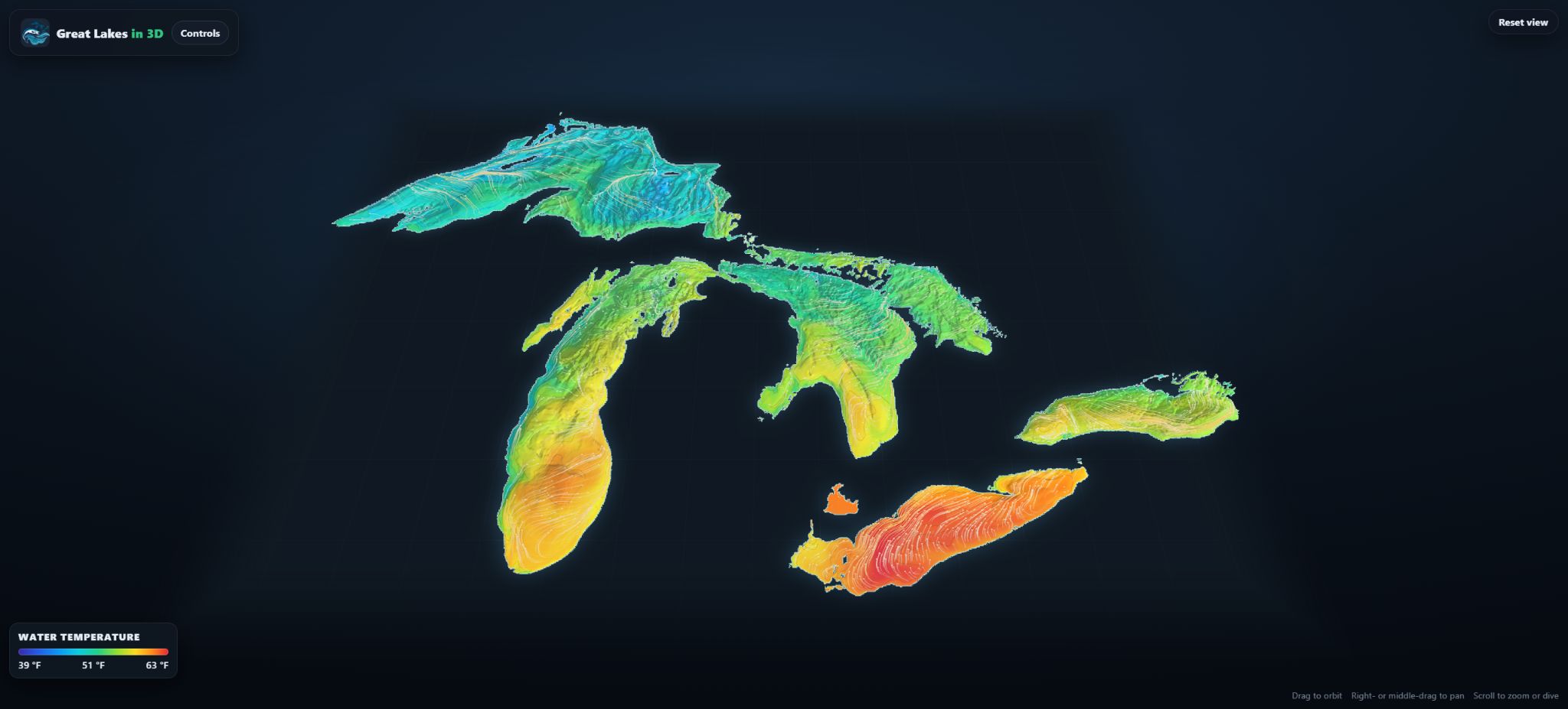
This interactive Great Lakes map brings the lake floor and the water above it into one view. Explore Lake Superior, Michigan, Huron, Erie, and Ontario together on one map. NOAA bathymetry shapes the shaded underwater terrain, while depth contours help show how each basin slopes from shore into deeper water.
Above the lakebed, NOAA forecast data shows estimated water temperature and currents through the water column. Choose a depth and forecast time to explore conditions below the surface, or draw a cross-section to see how temperature changes from top to bottom and where the thermocline forms. A target-temperature surface shows the depths where the model predicts your selected temperature.
NOAA bathymetry drawn as shaded terrain with depth contour lines. Turn up the vertical exaggeration to make reefs, shoals, and drop-offs stand out.
Slide from the surface to the bottom and see a temperature layer move through the lake, now or up to 48 hours ahead.
Draw a line shore to shore, even across more than one lake, to cut the water away and see the thermocline as a flat chart.
Pick a temperature and it appears as a surface floating in the lake, coloured by how deep it sits.
Animated particles follow the modelled current at the depth you choose.
Zoom all the way in to swim over the lakebed, then tilt up to see the surface from underneath.
See all five lakebeds together, or zoom in on one lake while keeping the full Great Lakes scene in view.
Move over a lake to see surface, depth, and bottom temperatures through the water column at that location.
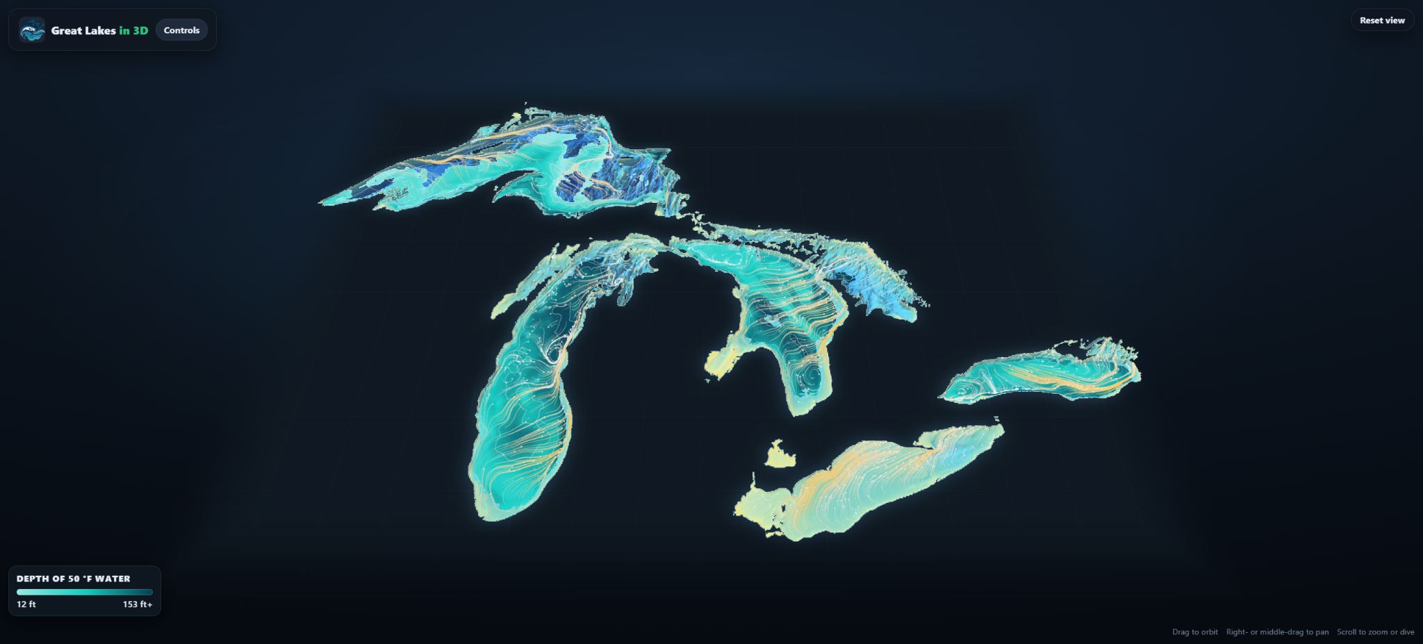
The lakebed comes from NOAA Great Lakes Bathymetry. The water, including temperature and currents at every depth, comes from NOAA’s Great Lakes Operational Forecast System, the same model behind the 2D map.
The 3D view is free, with no account required.