Lake Ontario Trolling Guide: Water Temperature, Thermocline, Currents & Seasonal Patterns
Lake Ontario trolling is largely a search for the right water.
Salmon and trout do not stay at one depth throughout the season. Water temperature, bait, wind, currents, and the thermocline can all change where fish are holding. A depth that produced yesterday may contain completely different water after a wind shift or change in lake circulation.
The Great Lakes Trolling map helps you narrow down where to start before leaving the dock. You can compare water temperature at different depths, locate the thermocline, check underwater currents, identify upwelling and downwelling, review wave conditions, and see how conditions are forecast to change.
Open Lake Ontario on the interactive map
Understanding Lake Ontario's water
Lake Ontario is the smallest Great Lake by surface area, but it reaches more than 800 feet deep.
That depth allows very different water conditions to exist at the same location.
During summer, the surface may be warm while much colder water remains below. The transition between these layers is one of the most important features for Great Lakes anglers.
Wind can also move the warmer surface layer across the lake. When this happens, cold water can rise toward the surface in one area and be pushed deeper in another.
The result is a lake that is constantly changing.
This is why simply knowing that salmon were caught "80 feet down" last week does not necessarily tell you where to fish today.
The water they were using may have moved.
Water temperature and target species
Temperature is one of the most useful starting points when searching for salmon and trout.
Different species generally prefer different temperature ranges:
| Species | General preferred temperature |
|---|---|
| Chinook salmon | 52–58°F / 11–14°C |
| Coho salmon | 52–58°F / 11–14°C |
| Steelhead | 55–65°F / 13–18°C |
| Brown trout | 54–63°F / 12–17°C |
| Lake trout | 42–52°F / 6–11°C |
| Walleye | About 68–74°F / 20–23°C |
These temperatures are starting points.
A salmon does not stop swimming because the water reaches 60°F. Fish regularly move outside their preferred temperature range to feed, follow bait, avoid predators, or respond to changing lake conditions.
Temperature helps you determine where to begin looking.
Bait and fish activity should determine where you actually fish.
Finding the thermocline
During the warmer months, Lake Ontario commonly separates into distinct temperature layers.
The warmer upper layer is called the epilimnion.
The colder deep layer is called the hypolimnion.
Between them is the thermocline, where water temperature changes relatively quickly with depth.
For trollers, the thermocline provides a useful reference point because baitfish and predators are often influenced by this temperature boundary.
You may find fish:
- above the thermocline,
- inside it,
- immediately below it,
- or much deeper if bait and suitable temperatures are available.
The important point is that the thermocline gives you a starting framework.
Instead of asking:
"How many feet down should I fish?"
A better question is:
"Where is the temperature structure today, and where are the bait and fish positioned relative to it?"
On the Great Lakes Trolling map, use the thermocline layer and then click your fishing area to inspect the full temperature profile through the water column.
Check the Lake Ontario thermocline
Upwelling and downwelling
Upwelling and downwelling can produce some of the most dramatic changes anglers see on Lake Ontario.
Upwelling
When wind pushes warm surface water away from an area, colder deep water can rise toward the surface to replace it.
This is called upwelling.
After a strong upwelling event, water that was previously 60 or 80 feet down may suddenly appear much closer to the surface.
The result can be:
- colder nearshore water,
- a shallower thermocline,
- major changes in productive trolling depth,
- bait and predators repositioning vertically,
- and very different fishing from one day to the next.
Downwelling
The opposite can also happen.
Wind can push surface water toward shore, causing warm water to pile up and forcing the colder water deeper.
This is downwelling.
After a downwelling event, anglers may need to fish considerably deeper to reach the same temperatures they were targeting previously.
If someone caught salmon 70 feet down yesterday, the more useful question is:
What temperature were those fish using, and where is that water today?
The upwelling and downwelling layers on the map are designed to help visualize these changes.
Currents are very important
The water below your boat does not necessarily move in the same direction or at the same speed as the surface.
Lake Ontario can have substantial underwater currents, and those currents can change with depth.
That matters when trolling.
Your GPS may show the boat travelling at 2.5 mph over the bottom, but the lure may experience a very different speed through the surrounding water.
For example, if you are trolling with a current, the lure may be moving relatively slowly through the water even though your GPS speed looks normal.
If you turn and troll against that same current, the lure may suddenly run much faster.
This can change:
- spoon action,
- flasher rotation,
- lure depth,
- downrigger cable angle,
- diver behaviour,
- and the overall shape of your spread.
Do not chase temperature alone
One of the easiest mistakes to make is treating a preferred temperature as the final answer.
Finding 53°F water does not automatically mean you have found Chinook salmon.
Temperature tells you where conditions may be comfortable.
Food tells you where fish have a reason to stay.
On Lake Ontario, important forage species include alewife and rainbow smelt. When bait concentrates around a temperature break, predators may be nearby.
When trolling, combine several pieces of information:
- water temperature,
- thermocline position,
- bait on sonar,
- predator marks,
- underwater currents,
- recent bites,
- and lure performance.
If you find the perfect temperature but the screen is empty, keep looking.
If you find heavy bait and active predators slightly outside the textbook preferred temperature, the fish are telling you something more useful than the numbers.
Seasonal Lake Ontario trolling patterns
Conditions vary from year to year, but Lake Ontario generally follows a recognizable seasonal progression.
Spring
Spring fishing can be heavily influenced by nearshore warming.
Shallow water warms faster than the main lake, particularly around river mouths, protected bays, stained water, and areas receiving warmer runoff.
Brown trout are commonly targeted in relatively shallow nearshore water during this period.
Salmon fishing also develops as spring progresses, particularly in the western part of Lake Ontario.
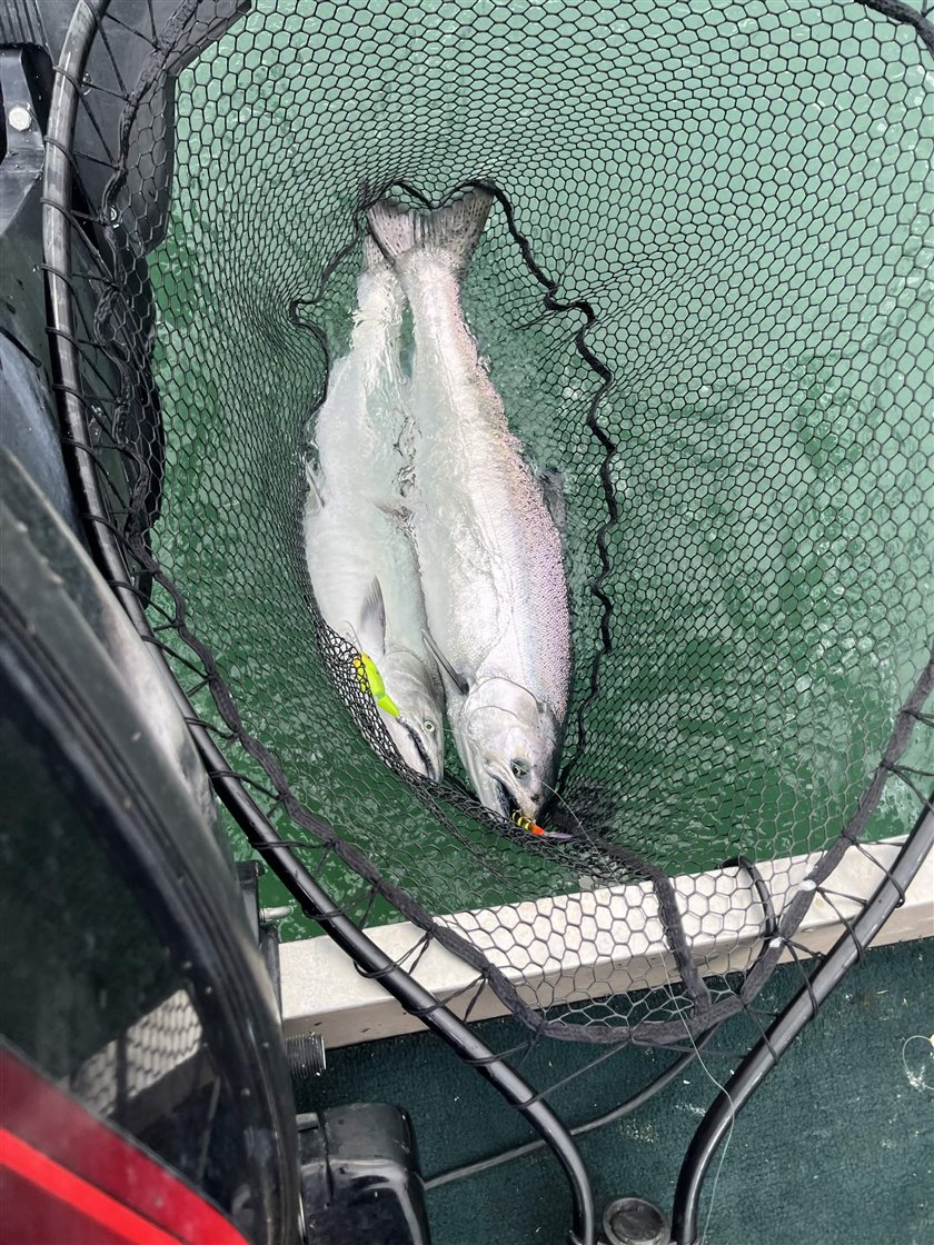
During spring, temperature differences of only a few degrees can be important.
Use the map to look for:
- warmer nearshore water,
- temperature breaks,
- river influence,
- and boundaries between different water masses.
Early summer
As the lake warms, thermal structure begins to develop.
Salmon and trout increasingly relate to cooler water, while offshore opportunities become more important.
This is when checking temperatures at several depths becomes much more useful than checking the surface alone.
Watch for the thermocline beginning to form and pay attention to how wind changes its depth.
Mid to late summer
By summer, Lake Ontario is usually strongly stratified.
This is the period when understanding the thermocline, temperature at depth, and subsurface currents can be especially valuable.
Mature Chinook may occupy deep offshore water during parts of the summer before beginning their movement toward tributaries later in the season.
Steelhead may be found higher in the water column, particularly around productive offshore water and bait.
Lake trout commonly occupy colder water deeper in the system.
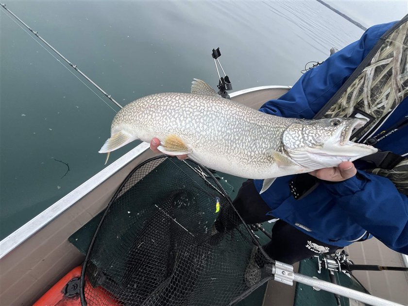
The lake can also change quickly after sustained wind.
A major wind event can reposition the temperature structure enough that yesterday's productive depth becomes nearly irrelevant.
Late summer and early fall
As mature Chinook prepare to spawn, fish increasingly move toward tributary areas.
Their behaviour also changes.
Temperature is less useful for locating staging salmon, but it can help track when they may push up the rivers.
During this period, the presence of staging fish can sometimes matter more than finding a textbook preferred temperature.
Later in fall, cooling weather gradually reduces the strong temperature separation that dominates summer fishing.
Final takeaway
Successful Lake Ontario trolling is less about finding one magic depth and more about understanding the water the fish are using.
Start with temperature.
Use the thermocline to understand the water column.
Watch for upwelling and downwelling.
Check currents at fishing depth.
Find bait.
Then use your electronics and actual bites to narrow everything down.
Before you launch
Instead of looking at a single surface temperature, look at the lake as a three-dimensional body of water.
A useful pre-trip routine is:
- Check waves and wind to understand the overall conditions and whether your planned area is practical to fish.
- Check temperature at several depths around the water you expect to target.
- Look at thermocline depth to find the main transition between warm surface water and colder water below.
- Check currents through the water column to estimate how trolling direction will affect your lure speed through the water. As a general starting point, target 2–3 mph for salmon and under 2 mph for lake trout. Current can make GPS speed differ from lure speed. This is why currents are important.
- Compare the forecast several hours ahead to see how conditions may evolve while you are fishing.
- Once on the lake, use sonar, bait, fish marks, probe temperature, and actual bites to refine your spread.
The map is best used to reduce the amount of water you need to search. It cannot tell you exactly where the fish will be, but it can help identify areas and depths that make sense before you start trolling.
The more you understand how the lake is moving, the less time you have to spend searching blindly.
Open Lake Ontario on the Great Lakes Trolling map